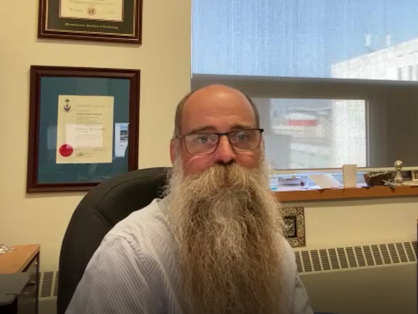
Interview between Dr. Philip Ferguson and Joshua Sorell
Q: Can you tell me in your own words who you are and what do you do?
A: Sure, my name is Philip Ferguson. I’m an associate professor of mechanical and aerospace engineering at the University of Manitoba. Price Faculty of Engineering. I also hold the NSERC Magellan Aerospace Industrial Research Chair in Satellite Engineering, and I’m the Director of the Space Technology and Advanced Research Lab, or STAR Lab, here at the University of Manitoba.
The research that I do really tries to kick the aerospace industry in the pants a little bit, if I could say that, I spent probably 10 years or more working in the aerospace industry, both in Canada and the United States, in the satellite industry and also in the drone industry. I found that we are leaving a lot on the table when it comes to capabilities for satellites, and drones. My research really looks to improve the accessibility of aerospace technology so that communities, research groups, and companies have access to aerospace data in ways that haven’t really been possible in the past.
It used to be the case that only companies and governments with extremely deep pockets, like hundreds of millions of dollars were able to access satellites, or satellite data, or autonomous drone systems. Now with CubeSats and smaller, inexpensive drone systems, we’re able to provide better value for communities and other people that need to use this data. We need to do research to understand how this data, how this technology could positively impact those groups. So that’s what my research looks into.
Q: Tell me about the IRIS satellite at the University of Manitoba?
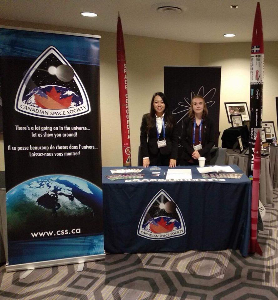
A: IRIS was a project that was funded by the Canadian Space Agency. It was part of the Canadian CubeSat program that kicked off in 2018. This was a program by the Canadian Space Agency that funded one CubeSat for every province and territory in Canada. The IRIS CubeSat was the one that was funded for the province of Manitoba. For the IRIS project we partnered with researchers from the University of Winnipeg, these people are interested in space geology and understanding space rocks and their origins and different kinds of minerals and resources that we can extract from those for either future long duration missions, or even just to understand the origins of our universe.
Those scientists were part of the OSIRIS-REx mission from NASA, which It’s pretty cool that in just a few days, we’re going to have a little capsule returned to Earth after many, many years, having scooped up a little bit of gravel from the asteroid Bennu. There are some interesting questions there that the team needs to understand how those space rocks that were scooped up by Bennu, how those rocks might have been changing as they were exposed to space weather. Space weather is a large term that means a lot of different things. It means space radiation, it means micrometeoroids, it means atomic oxygen, but basically anything that can happen to an object resulting from the stuff that’s out there in space. We call that space weather. What we were trying to do is say, all right, we have some rock and we expose it to space radiation. How do those rocks change their optical properties over time when exposed to this space weather?
And that’s what Iris was really trying to do. We sent some space rocks back into space. Again, these are little pieces of meteors or asteroids that were once in space and we found them on the surface of the planet. We also created some other analogs that represented other little bits of asteroids and moons and planets that we think might be out there and we put them on a little sample plate. That little sample plate had a camera on top of it, and that camera was taking pictures of those samples periodically and letting us know how those samples are changing their optical properties as they’re exposed to the space environment.
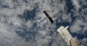
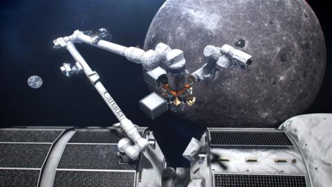
IRIS CubeSat and another CubeSat deployment from the ISS
Q: When did you launch from the ISS?
A: We launched to the ISS in early June, and then in early July, we were deployed from the space station along with some other satellites from other universities across Canada and another CubeSat from an American company down south. That was in early July. Since then, we have been making, I’ll say, sporadic contact with our CubeSat. It has not been as smooth as we would have liked it to be, we have detected signals from our CubeSat and we have been able to determine that it’s there and it seems to be alive. We are continuing to work with our radio manufacturer right now to understand some of the power settings on the radio, we’re working with the other universities that deployed at the same time as us, because we are all experiencing almost the identical communications issues right now. We suspect that it has something to do with the extremely challenging space weather environment right now. Ironically immediately after we were deployed from the space station, there was a large solar flare and that flare affected a lot of space to ground communications.
We suspect that it has affected our radio on board. I think most of the other teams that are all experiencing exactly the same thing have the same kind of conclusion. It was about an hour after the astronauts deployed us from the space station that we had this solar event and then about a week later, there was another big solar event. The solar events make for some really pretty Northern lights down here on earth but they make for a challenging orbital environment particularly when we are working with low cost commercial electronics that aren’t really space grade.
All is not lost. We are fairly certain that we have signals from our CubeSat, we are currently working with our radio manufacturer to change those power settings and they are working to try to develop some special codes that we can send up to the radio to try to get it to reset. We’re fairly certain that that will be successful. Fingers crossed but, in the meantime, what we’ve learned through this mission has just been completely invaluable. We’ve learned how to put together this CubeSat. We’ve learned some valuable lessons about space weather, maybe not the ones that we were hoping to learn but some other lessons learned that we are now applying to our future satellites, like the ones that we’re doing for CUBICS.
Q: What is your next thing that you are working on?
A: We are building two satellites right now and in addition to operating IRIS, one of the satellites is for the CUBICS program and another satellite that we’re working on with Magellan aerospace it’s being proposed it hasn’t yet been approved. We’re doing the preliminary systems development for a CubeSat for defense research and development Canada as part of the Red Wing program that Magellan is working on to help track resident space objects, basically space debris and satellites to improve space situational awareness. It’s also not at all funded by the Canadian Space Agency. We are using some of the lessons learned that we got from IRIS and our other CUBICS mission but that is a different project.
The CUBICS project with the Canadian Space Agency, the project is called ArcticSat, and ArcticSat will be another 3U CubeSat that we will use to image and measure ice thickness and ice quality in the coastal regions of Nunavut, so along the western coast of Hudson Bay. We are co-developing this CubeSat with Inuit communities in, Chesterfield Inlet and Indigenous communities in Churchill, Manitoba as well. What we’re intending to do is improve the ice safety as community members use the ice for hunting and traveling and try to give them a better big picture view of how the ice is evolving as climate change affects their way of life. There are many people may quite accurately say, “Aren’t there already satellites that can measure ice thickness and ice data such as radar sat and ice sat and some other satellites like that.” and that is definitely true, but historically communities, and especially northern communities have had trouble accessing that data for a fair price and also accessing the timely data that they need in order to watch freeze up season and the breakup season in the spring. So this will be a first of its kind a dedicated spacecraft for communities to use and actually operate themselves to get this critical data that is changing extremely rapidly. These days the front line of climate change is really Canada’s Arctic region and we’re working with them to develop tools that they can use and support their communities.
Q: Are you collaborating with any other groups for the satellite, or are you just working with the indigenous communities?
A: Yeah, we are, we’re working with the Indigenous communities. The groups that we’re working with is the town of Chesterfield Inlet, Nunavut, and we’re also working with the Duke of Marlborough High School in Churchill, as well as the Interlake School Division just north of Winnipeg here. The Interlake School Division was also a part of our IRIS project. They built a little sundial for IRIS that told us the direction of the sun on our rock samples, which was important because most of the space weather comes from the sun, as we know all too well. The interlake school division is also working with us on the Arctic sat mission. They will be helping us with some temperature sensors and trying to do some of the thermal modelling of our satellite, which is really important because one of the things that we need to do for Arctic sat is deploy a half meter wide antenna, a parabolic antenna out of a very small package. And that will be extremely dependent on the temperature. We are relying on some of those students to help us with some of our thermal analysis, some of our thermal testing of deploying these objects.
Then our students in Churchill will be helping us with the design again of some of our deployable equipment, but also trying to understand how radiation might be affecting some of our deployment mechanisms and we’ll be putting some small radiation sensors on the outside of our deployed dish. We’re also going to be working with the students in Churchill, Manitoba to do some tests of our microwave payload, by flying it on a drone over Hudson Bay. Just off the coast there from Churchill using the new Churchill Marine Observatory that the University of Manitoba has established out there in Churchill. It’s a good opportunity for us to work with many of the communities in the north, as well as some of the students and try to inspire that next generation of aerospace scientists and engineers.
Q: How do you increase access to CubeSats and how are going about that?
A: When we talk about access to a technology, there’s many different avenues that we can and should discuss. There’s access from a financial perspective. Making these technologies affordable on budgets that are more reasonable for, say, small communities or research labs. There’s access from a from a data perspective. How do we get data into the hands of people that can actually use it? It’s easier today than it has been in the past, especially for northern communities with the deployment of networks like Starlink from SpaceX and others but there still are barriers of getting the appropriate data to communities. Our hypothesis here is that CubeSats can help with that data delivery. As well there’s also the access to the technology and making sure that this technology is accessible and understandable and usable by people. We’re working with communities to make sure that instruction manuals are written in an appropriate language and using the right characters whether that’s in Inuktitut or any other indigenous language and making sure that they can understand and operate these things is important. I think fundamentally making sure that these solutions are what these communities need and that’s an important part of accessibility too, because so often we have cases where scientists and engineers come up with great solutions for problems that don’t actually exist, they usually mean very well, but they tend to show up in communities and say, we’ve solved all of your problems, here’s a solution. They sort of drop it at the doorstep and then they leave and that’s not really helping things very much.
One of the things that we’re really trying to do is saying, if we co develop solutions together and really work closely with the communities to understand their needs and understand what it is that is challenging them with respect to climate change, or access to transportation, or data communication, or anything like that. Then we can develop solutions with them, and for them, but not just kind of plunk it down in front of them. I think that’s another important part of access that that needs to be talked about is we develop this technology, but we need to make sure that people can use it. Then it’s actually solving the problems that are present and not just those that are perceived.
Q: Is there anything that you would like to highlight?
A: One of the research areas that my lab, the STAR Lab is looking into is ways in which we can develop these technologies that I’ve talked about, whether they be navigation technologies, or control technologies, or payload remote sensing technologies, we need to find ways to test them and verify them in inexpensive ways, but also making sure that we’re retaining the reliability that we need for these space systems to actually work in space. One of the ways that we’re doing that is using drones as a stand-in for spacecraft dynamics and really space delivery methods.
I mentioned before that we were planning on using drones to test payloads for Arctic sat. We’re using drones for lots of different things in our lab. To that end, we’re expanding the STAR Lab now to include some drone test areas. We have one right now near the airport in a large warehouse, where we’ve instrumented it with some of the world’s best motion tracking cameras, thanks to a really fantastic grant from Prairie Can. This is allowing us to evaluate space technologies, remote sensing technologies, but also other drone technologies that are helping society, function better, like using drones to inspect bridges, or monitor construction projects, or to deploy temporary cellular infrastructure. This is a really exciting project, the facility is called the drone zone that we’ve set up and we’re looking to expand it to a larger facility called drone dome in the near future.
this intersection between satellites and drones is, I think is a important one. We’ve already seen the work that’s happening by the jet propulsion laboratory with the ingenuity drone that’s flying around with the Perseverance rover on Mars. My colleagues and I really see this as a huge opportunity to leverage these multi scale observations where you have spacecraft overseeing a larger area drone that maybe we get a more focused look at some other area and then maybe a little rover on the ground that gets an extremely close-up view or maybe a physical sample of something. This drone zone that we have over near the airport and the future drone dome facility that really moving us in that direction.